Architecture
Existing buildings
Models of envelope, structure, partitions, levels, openings and whatever else matters for alteration or refurbishment.
Service · Scan to BIM
We turn LIDAR point clouds into as-built BIM models that are actually usable for refurbishment, maintenance, extensions, facility management, technical coordination and asset documentation. We work from our own capture anywhere in Spain, or from a point cloud you already hold.
A BIM model is an intelligent digital mock-up of the building: not loose lines, but walls, slabs and pipes that "know" what they are and carry their dimensions and properties. "As built" means it reflects what was actually constructed — derived from the point cloud, not from old drawings — so you work against what really exists. We model to the level of detail each project needs, no more and no less.
Architecture
Models of envelope, structure, partitions, levels, openings and whatever else matters for alteration or refurbishment.
MEP and industry
Pipework, plant rooms, supports, equipment, service routes and clashes, modelled for coordination and maintenance.
Heritage
BIM documentation of historic buildings and existing elements, with criteria adapted to conservation and management.
Search for "scan to BIM" in English and most results are drafting bureaux that model from a cloud someone else captured. That works, until the model and the cloud disagree and nobody owns the discrepancy.
A good as-built model is not the heaviest one, it is the one that answers the technical decision. So we agree scope, families, tolerances and formats before production starts.
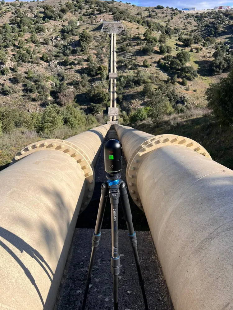
The point cloud of the Santillana Canal conduits (Canal de Isabel II) is exactly the kind of starting data we model as-built from: real geometry of pipework and existing elements, with no reliance on old drawings.
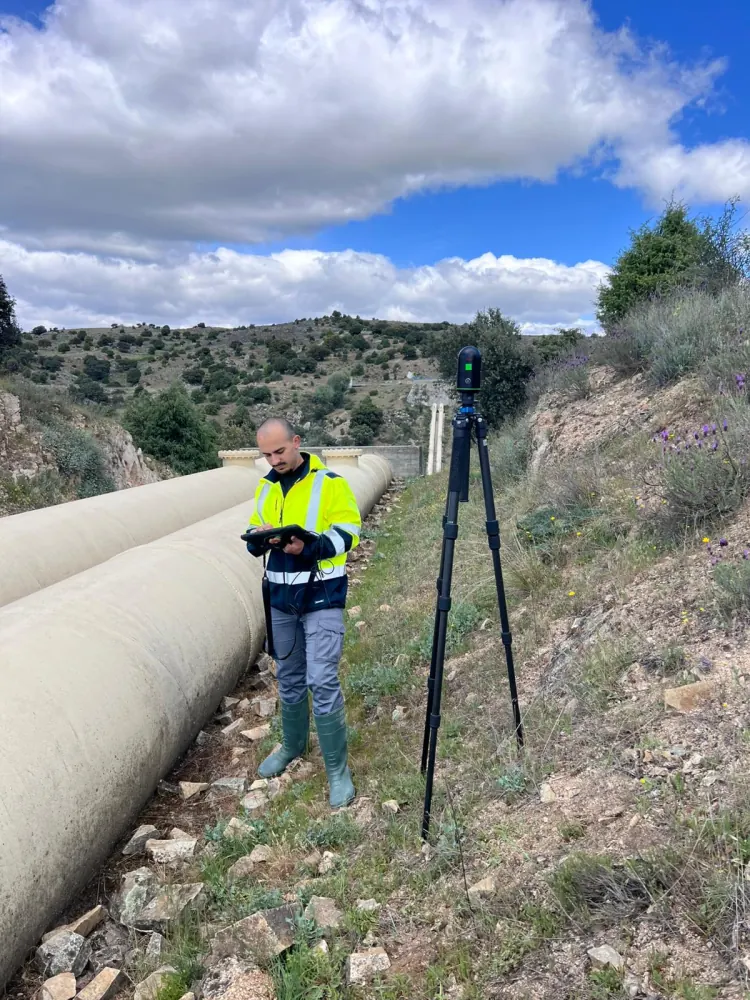
We combine capture, registration, technical reading and modelling so the result is usable on site, in the design office or in asset management.
LOD (Level of Development) describes how much geometric and data content each model element carries. More LOD is not "better": it is more expensive and slower to produce, so we set it against the decision the model has to support.
The model is built on the cloud: the scanning process shows how each stage fits before modelling starts. Fixing the LOD before scanning avoids two common mistakes — over-modelling (unnecessary cost and programme) and under-modelling (a model that cannot answer the question that prompted it). That is why the first step of our process is always scope, not capture.
An as-built BIM model represents the built reality of an existing asset, derived from its point cloud rather than from out-of-date drawings. It is the basis for alteration, refurbishment, maintenance and technical coordination.
Both. Unlike offshore BIM drafting bureaux, we carry out the capture ourselves anywhere in Spain, so the same team is answerable for the accuracy of the cloud and of the model. If you already hold a point cloud, we can model from it — and we will tell you up front what its density and registration quality allow us to model reliably.
In five stages: agree scope and LOD, capture the cloud with a LIDAR scanner, register and clean it, model the elements (walls, slabs, services) on the real captured geometry, then review and export to Revit or IFC. The result is intelligent BIM elements that reflect what was actually built, not out-of-date drawings.
We deliver in Revit (RVT), IFC and other formats to suit your workflow, with derived plans, sections and elevations, and coordination against the reference point cloud.
The right LOD depends on the use: concept design, construction, maintenance or asset inventory. We agree scope, families, tolerances and formats before modelling, so the model answers the technical decision rather than chasing file size.
Tell us what you need surveyed. We review your case with no obligation and send back a technical and commercial proposal matched to your requirements — in English, working to your project timetable.