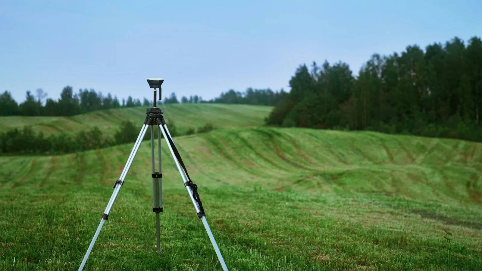
What a topographic survey is
A topographic survey is the measurement of a piece of land, or a built-up area, to represent it with coordinates and levels: its shape, its relief and everything on it (buildings, roads, walls, embankments, trees, manholes). The classic output is a topographic plan with contour lines; today it usually comes with a digital terrain model, an orthophoto and a georeferenced point cloud.
To "survey" means to measure what exists in order to draw it. What separates a topographic survey, or land survey, from a sketch is that every point has a known position in an official reference system, so the plan fits the national mapping, the cadastre and any later work on the same site.
It is worth being clear about who does it. A land surveyor does it with a total station and a GNSS receiver, and a reality-capture company like ours does it too, with drones, LiDAR or laser scanners backed by GNSS RTK survey control. They are not the same and do not compete for every job: below we explain when each one makes sense.
What a topographic survey is needed for
- Building or civil works design: the architect or engineer needs the real base to design on, with levels, boundaries and existing features.
- Planning applications: many local authorities ask for an existing-site survey with the project.
- Subdividing or merging plots, and checking real areas against those in the title deeds.
- Cadastre and land registry: correcting how a property is mapped or aligning it with the registry. In Spain this falls under the Cadastre-Registry coordination introduced by Law 13/2015.
- Construction and earthworks: initial condition, cut-and-fill measurement, stockpile volumes and progress monitoring.
- Infrastructure and land: linear works, canals, slopes, quarries, flood zones.
Methods: total station, GNSS, drone and scanner
The goal is always the same (points with coordinates and elevation); what changes is how they are measured and how many.
Conventional surveying: total station and GNSS RTK
The surveyor walks the site and measures, point by point, the features that matter: kerb lines, building corners, breaks of slope, manholes. A total station measures angles and distances very precisely from a set-up; a GNSS RTK receiver gets real-time corrections and gives centimetre-level coordinates wherever it is placed. It is the most efficient method on small plots, for setting out and for boundaries, and the only option when a specific point under dense cover has to be measured. The trade-off is low density: in the order of 20 to 60 points per hectare, with a two-person crew covering about 5 to 20 ha a day.
Drone photogrammetry
The drone flies a plan of overlapping photographs and software rebuilds the terrain geometry from them. With drone photogrammetry we cover up to 400 ha in a day, with accuracy in the order of 5 cm, down to 2-3 cm when the flight is tied to ground control points measured with GNSS RTK. Besides the point cloud it produces a high-resolution orthophoto. Its limit: it only sees what the camera sees, so there is no ground beneath the trees. We cover it in depth in what is photogrammetry.
Drone LiDAR
The drone carries a laser sensor that measures distances directly. Part of each pulse slips between the leaves and reaches the ground, and those returns yield the terrain beneath vegetation. It is the choice where there are trees, scrub or wooded riverbanks, and on linear works and large areas: with drone LiDAR we cover up to 600 ha in a day at 2-3 cm accuracy with RTK or control points. How the sensor works is explained in what is LiDAR.
Terrestrial laser scanner
A tripod-mounted scanner measures millions of points set-up by set-up, with a nominal accuracy of ±2 mm under controlled conditions. It is not the tool for several hectares of land, but it is for what a drone does not see well: facades, courtyards, interiors, structure and services. In an urban survey it is common to combine it with a flight: the drone covers roofs and surroundings and 3D laser scanning covers the vertical and the interior.
To be straightforward: we are not a conventional land surveying firm. Our work is mass capture (drone, LiDAR and laser scanning) with GNSS RTK survey control so that everything is georeferenced. If what you need is to set out a footing or fix the boundaries of a 300 m² plot, a surveyor with a total station will do it sooner and for less.
Comparison of methods
| Method | Density | Indicative output | Best for | Limit |
|---|---|---|---|---|
| Total station / GNSS RTK | 20-60 points/ha | 5-20 ha/day | Small plots, boundaries, setting out | Low density; slow on large areas |
| Photogrammetry drone | Millions of points/ha | Up to 400 ha/day | Open areas, construction, quarries, orthophoto | No ground beneath vegetation |
| Drone LiDAR | Over a million points/ha | Up to 600 ha/day | Wooded terrain, linear works, large areas | Colour only with an added camera |
| Terrestrial laser scanner | Millions of points per set-up | Set-up by set-up | Facades, interiors, structure, services | Inefficient on extensive land |
These are the indicative figures we work with; the actual accuracy of each job depends on the equipment, the control points and site conditions.
What a topographic survey delivers
- Topographic plan in DWG and PDF, with contours, spot levels and the existing features agreed.
- Contour lines at an interval suited to the project scale.
- Digital terrain model (DTM) and, where useful, a digital surface model (DSM), in GeoTIFF.
- Orthophoto, georeferenced, in GeoTIFF, when there is a photogrammetry flight.
- Point cloud, classified, in open formats: LAS/LAZ or E57. Always open, so you can use it in any software without depending on us. What each point stores is covered in what is a point cloud.
- Accuracy report: control points, check points and the error achieved.
To review all of it without installing anything, the VisionHub web viewer opens the cloud, the orthophoto and the drawings in the browser.
The coordinate reference system
A survey is only useful if its coordinates match the rest of the mapping. Across Europe the common base is ETRS89, but each country fixes its own projection and height datum:
- Spain: ETRS89 with UTM projection and heights referred to mean sea level at Alicante, under Royal Decree 1071/2007 (REGCAN95 in the Canary Islands).
- Mainland Portugal: PT-TM06/ETRS89, according to the Direção-Geral do Território.
- France: RGF93 with Lambert-93 projection and NGF-IGN69 heights.
We work in the official system of each country where we survey. For wider context in Spain, the PNOA LiDAR is free and uses the same system, but its density is no substitute for a detailed survey.
What drives time and cost
We do not publish a price per square metre because no single figure fits every site. This is what moves time and cost:
- Area and shape: one hundred compact hectares do not cost the same as ten kilometres of narrow corridor.
- Vegetation: it decides whether photogrammetry is enough or LiDAR is needed, and how many control points must be measured.
- Required accuracy and drawing scale: more accuracy means more survey control and more checking.
- Access to the site and to control points, and whether the drone must be combined with a terrestrial scanner.
- Flight permits: near airports, in urban areas or in protected sites, authorisations must be obtained before flying, and that sets the calendar.
- Deliverables: an orthophoto and a DTM almost generate themselves; a fully drafted plan takes hours of office work.
We fly as a UAS operator registered with AESA, the Spanish aviation safety agency. The common European framework of Regulation (EU) 2019/947 lets us operate across the rest of Europe too, obtaining the local airspace authorisations each country requires. We quote a fixed price with travel included, anywhere in Europe.
Topographic survey or measured building survey
They are often confused because both record what exists, but they answer different questions:
- A topographic survey describes the land: relief, levels, boundaries, roads and the footprint of the buildings on it. It is measured from outside and from above.
- A measured building survey describes the built geometry: floor plans, sections and elevations of the existing condition, with walls, openings, slabs and heights. It is measured inside and out, usually with a laser scanner.
If you are going to refurbish, alter or extend a building, what you need are as-built drawings or a BIM model from a point cloud. If you are going to build on an empty plot or develop land, a topographic survey. And if the project involves both, such as a building and its plot, they are done together in the same campaign.
How to commission a topographic survey
To give you a useful quote we need little: the location or a KML of the area, what it is for (design, planning, construction, measurements), the accuracy or scale required and the deliverables. With that we will tell you which method fits (photogrammetry drone, drone LiDAR, terrestrial scanner or a mix) and, if the job is pure conventional surveying, we will tell you that too.
We are based in Madrid and work across Europe.