Conservation
Geometric record of the current state for preliminary studies, interventions, comparisons and monitoring.
Sector · Heritage
We combine LIDAR, drone photogrammetry, as-built BIM and Gaussian Splatting to record historic buildings, singular elements, architectural ensembles and heritage sites in Spain, with both technical accuracy and visual legibility — for Spanish heritage bodies and for foreign institutions and researchers working on Spanish sites.
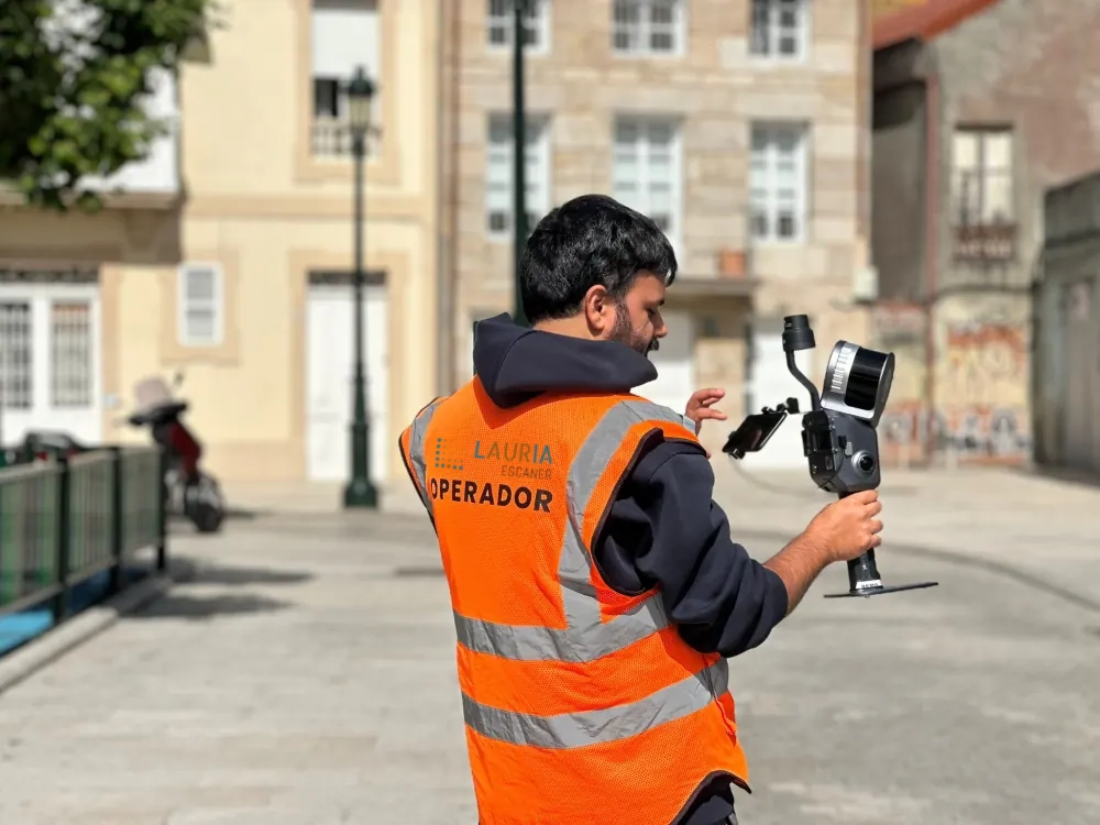
Heritage documentation has to serve architects, conservators, public authorities, researchers and communications teams at once. So we plan technical and visual deliverables from the outset.
Geometric record of the current state for preliminary studies, interventions, comparisons and monitoring.
Point clouds and as-built BIM so design work on existing buildings starts from less uncertainty.
Photorealistic models, web walkthroughs and visual assets that explain heritage spaces to a non-technical audience.
Heritage usually calls for a combination of technologies: LIDAR for geometry, drone for roofs and context, BIM for technical documentation, 3DGS for communication.
Yes, and it is one of the reasons laser scanning is used on heritage: it is a non-contact capture, with no need to touch the fabric, fix invasive targets or handle any element. The geometry is recorded from within the space, without intervening in the asset.
With a terrestrial laser scanner, a nominal accuracy of ±0.02 cm under controlled conditions — enough for preliminary studies, sections, elevations and the monitoring of defects or deformation over time.
The point cloud is metric data: it is there to measure, draw and model from. Gaussian Splatting is photorealistic visual representation, ideal for explaining a space or publishing it on the web, but not intended for measurement. On heritage the two are usually combined: the cloud for the technical work, 3DGS for interpretation and outreach.
It supplies objective technical documentation of the previous state, with verifiable measurements and a capture date, which the design team incorporates into the application. What each application requires is set by the competent Spanish heritage authority and the design team, not by the scan itself.
Tell us what you need surveyed. We review your case with no obligation and send back a technical and commercial proposal matched to your requirements — in English, working to your project timetable.