Private owners
Refurbishment and sale
Real drawings for refurbishment, extension, sale or letting, with no reliance on old or missing plans.
Service · Small spaces
The same LIDAR and SLAM technology we use on large infrastructure, scaled to a flat or a shop unit: 2D drawings, 3D model and point cloud, without emptying the space or interrupting its use. Useful in particular for owners managing Spanish property from abroad. We work in Madrid and across Spain.
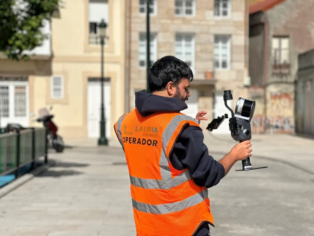
3D scanning a home or a commercial unit means capturing its real geometry — walls, openings, exposed services, heights — with whichever instrument the project calls for: a handheld SLAM laser scanner where speed matters and centimetre accuracy is enough, or a terrestrial laser scanner (TLS) where millimetre accuracy is required. Either way you get a point cloud, from which we derive 2D drawings, a 3D model or as-built documentation, without emptying the space or interrupting its use.
Private owners
Real drawings for refurbishment, extension, sale or letting, with no reliance on old or missing plans.
Interiors and architecture
An accurate base for interior design, energy certification or planning applications.
Units and franchises
Consistent documentation of multiple units for chains, insurers or asset managers.
A traditional survey with tape and sketch only records the dimensions somebody thought to take at the time: if one is missing, you go back. 3D scanning captures the full real geometry of the space in one visit, and that point cloud can be measured again afterwards, as often as needed.
The point cloud is the complete 3D reality of the space, not just the dimensions written on a sketch. If you later need something nobody anticipated — a diagonal, a height, the exact position of a service — you take it straight from the cloud, with no new visit to arrange. For an owner outside Spain that saves a flight, not just an afternoon.
Alongside the point cloud we deliver a 360° virtual tour of the space. You no longer have dimensions in one place and loose photographs in another: whatever the geometry does not make obvious — a finish, a construction detail, the condition of an installation — is resolved by looking at the tour, coordinated with the drawing.
We match the deliverable to the use: from a simple dimensioned drawing to a navigable 3D model or a complete point cloud.
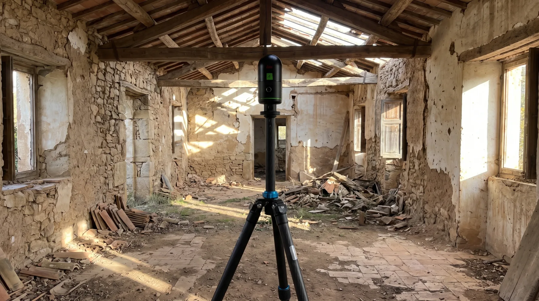
For a quick walkthrough we use handheld SLAM. Where the project needs maximum accuracy — a heritage refurbishment, an expert report — we use the same terrestrial laser scanner we take to large infrastructure, as on the Vigo City Council survey or the Santillana Canal conduits for Canal de Isabel II.
A sequence designed not to interrupt the use of the space, and to hand over documentation ready for your project.
Apps such as Polycam, and the LiDAR sensor in an iPhone or iPad, use a short-range sensor designed for augmented reality, not for measurement. In a small room the deviation from the true dimension can reach tens of centimetres, with visible geometric errors: walls that do not close square, misaligned corners, openings with distorted shapes. They are fine for a quick visualisation, not as the basis of a drawing you will make a decision on.
They do not compete on price: they compete on what the data is good for afterwards. If a decision rides on those dimensions, ask us before scanning it yourself with a phone — a consumer app does not warn you when the measurement is wrong.
In five stages: agree rooms, objective (drawings, floor area, certificate) and access; walk the space with a handheld SLAM laser scanner, or set up a terrestrial scanner where millimetre accuracy is needed; register and clean the captured point cloud; produce 2D drawings, area measurement and a 3D model; and deliver the documentation in PDF, DWG or whatever format you need.
It depends on floor area, number of rooms and complexity. With a handheld SLAM scanner the walkthrough is quick and needs neither emptying the space nor interrupting its normal use; processing and drawing production happen afterwards, away from the visit.
Dimensioned 2D drawings, measurement of usable and gross floor areas, and a 3D model or navigable point cloud where the project needs one, in the usual architecture and interior design formats (DWG, PDF) or 3D data formats (E57, LAS).
Yes. We apply the same capture and delivery standard to every unit, which makes it far easier to compare, document and manage the assets of a chain, franchise or property portfolio on consistent data — including a portfolio held from outside Spain.
Yes, with no second visit. The point cloud captures the full geometry of the space, not just the dimensions somebody happened to note down: any new measurement is taken straight from the cloud. We also deliver a 360° tour of the space, so dimensions and visual detail (finishes, services, the condition of an element) live in the same deliverable rather than separately.
Tell us what you need surveyed. We review your case with no obligation and send back a technical and commercial proposal matched to your requirements — in English, working to your project timetable.