Local side
Access and permits
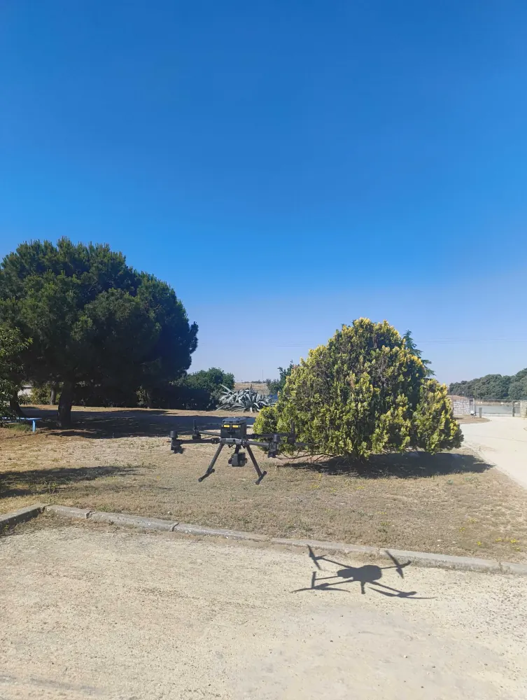
Site coordination with the owner or operator, and AESA flight authorisations where the job involves a drone. Handled here, in Spanish, before anyone travels.
Coverage · Spain
We are a Spanish 3D laser scanning, LIDAR and drone photogrammetry company. From a technical base in Madrid we capture buildings, industrial plants, infrastructure and heritage in any province, and deliver millimetre-accurate point clouds, as-built BIM models and digital twins. Fixed quote, travel included.
Most of the friction in commissioning a survey in another country is not technical — it is access, permits, coordinate systems and who is standing on site when something is not as the drawings said. All of that sits with us.
Local side
Site coordination with the owner or operator, and AESA flight authorisations where the job involves a drone. Handled here, in Spanish, before anyone travels.
Reference frame
Georeferencing in ETRS89 / UTM 29N–31N as standard, or transformed into whatever grid your own models already use. Agreed before capture, not after.
Review
Deliverables and the point cloud go into a web viewer your team opens from a link, so review happens where your engineers already are.
What makes nationwide coverage affordable is planning: we study the asset on drawings, size the equipment (terrestrial laser scanner, SLAM, drone, or a combination) and resolve the capture in one or two days. The bulk of the work — registration, cleaning and deliverable production — happens afterwards in the office, so distance affects neither the programme nor the quality.
01 · Scope
We review the asset from drawings, photographs or a virtual walkthrough and set accuracy, coverage and deliverables. On that basis we issue a fixed quote, travel included.
02 · Site
We travel with the full kit and complete the capture in one or two days, coordinated with the activity of the building or plant so as not to interfere.
03 · Office
We register and clean the point cloud and produce the deliverables: CAD drawings, BIM model, digital twin or web viewer. Delivery in 3–10 working days.
Laser scanning, SLAM and drone LIDAR on water infrastructure, and heritage recording in Galicia — the same team and method, adapted to each asset and location.
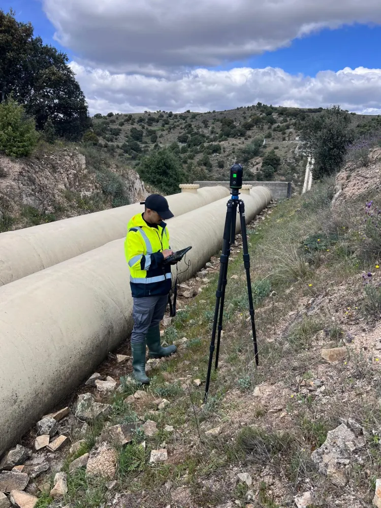
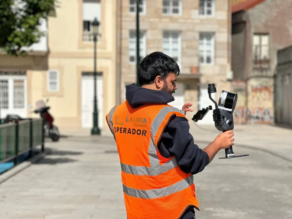
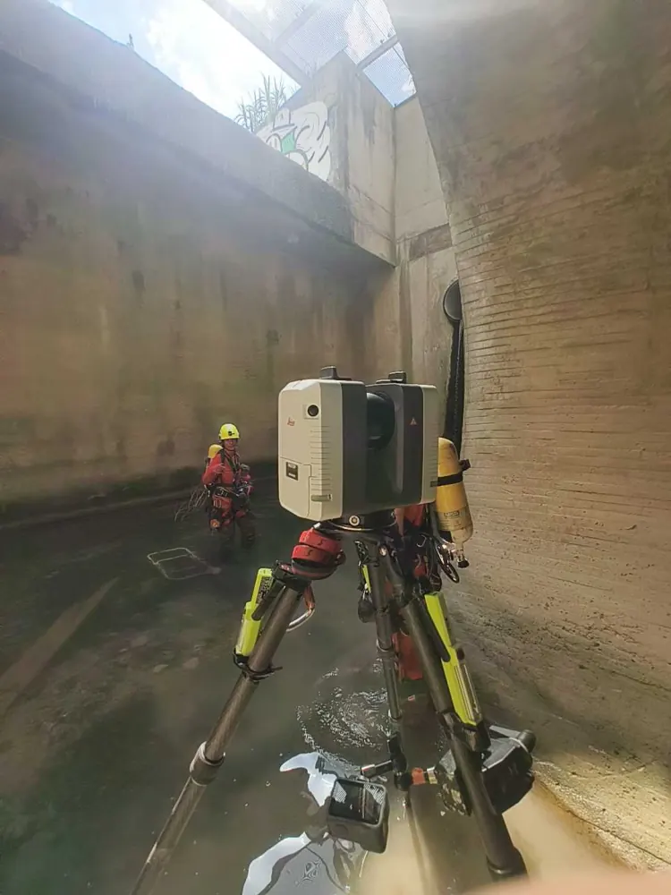
These are some of the places we have already worked. If your project sits in another province, tell us anyway: the method does not change.
Technical base. The whole Madrid region with no travel cost.
Office on Avenida Diagonal. Barcelona, Girona, Lleida and Tarragona.
Valencian Community: Valencia, Castellón and Alicante.
Bizkaia, Gipuzkoa and Álava, plus Navarre and Cantabria.
Zaragoza, Huesca and Teruel, under three hours from our base.
Any of the 52 Spanish provinces, on a fixed quote that includes mobilisation.
We cover the whole chain: we capture reality with laser and drone, and convert it into the formats your technical team already works in.
What clients with assets outside Madrid — and outside Spain — ask most often.
Yes. Based in Madrid, we scan in any Spanish province. Regular work in Madrid, Valencia, Catalonia, the Basque Country and Aragón, and travel to the rest of the country for projects that justify it.
It is included in the fixed quote: we do not invoice mileage or subsistence separately. If there are several assets in the same area we group the capture, which brings the cost per site down.
No. Capture is resolved in one or two days anywhere in Spain and processing happens in the office. Delivery is normally between 3 and 10 working days.
Exactly the same, with the local side handled by us: site access, permits, flight authorisations and the Spanish coordinate system. Briefing, reporting and deliverables are in English, and everything is reviewed remotely through the web viewer.
Location, approximate size, the intended use of the data (drawings, BIM, digital twin) and any existing drawings or photographs. With that we send a fixed proposal with no obligation.
Tell us what you need surveyed. We review your case with no obligation and send back a technical and commercial proposal matched to your requirements — in English, working to your project timetable.