The short answer
Matterport and VisionHub both let you view, walk through and measure a space in the browser. The difference is what you receive: Matterport hosts the tour on its platform for as long as you keep your subscription and charges separately for exporting the point cloud; LAURIA ESCÁNER always hands over the point cloud in open formats (E57, LAS, LAZ), and VisionHub is simply the viewer where it is published and shared.
Put another way: with Matterport, the virtual tour is the product. With us, the product is the survey data, and the tour is a convenient way to look at it.
What they share: view, walk through, measure
It is worth starting with what they have in common, because for someone who only wants to look at a space the two options are very close:
- View: the space opens in the browser, on a computer, tablet or phone, with nothing to install.
- Walk through: a 360 virtual tour you move through point by point, as if you were inside.
- Measure: distances, heights and areas taken directly on the captured space.
- Share: a link the client, the owner or the site team can open without licences.
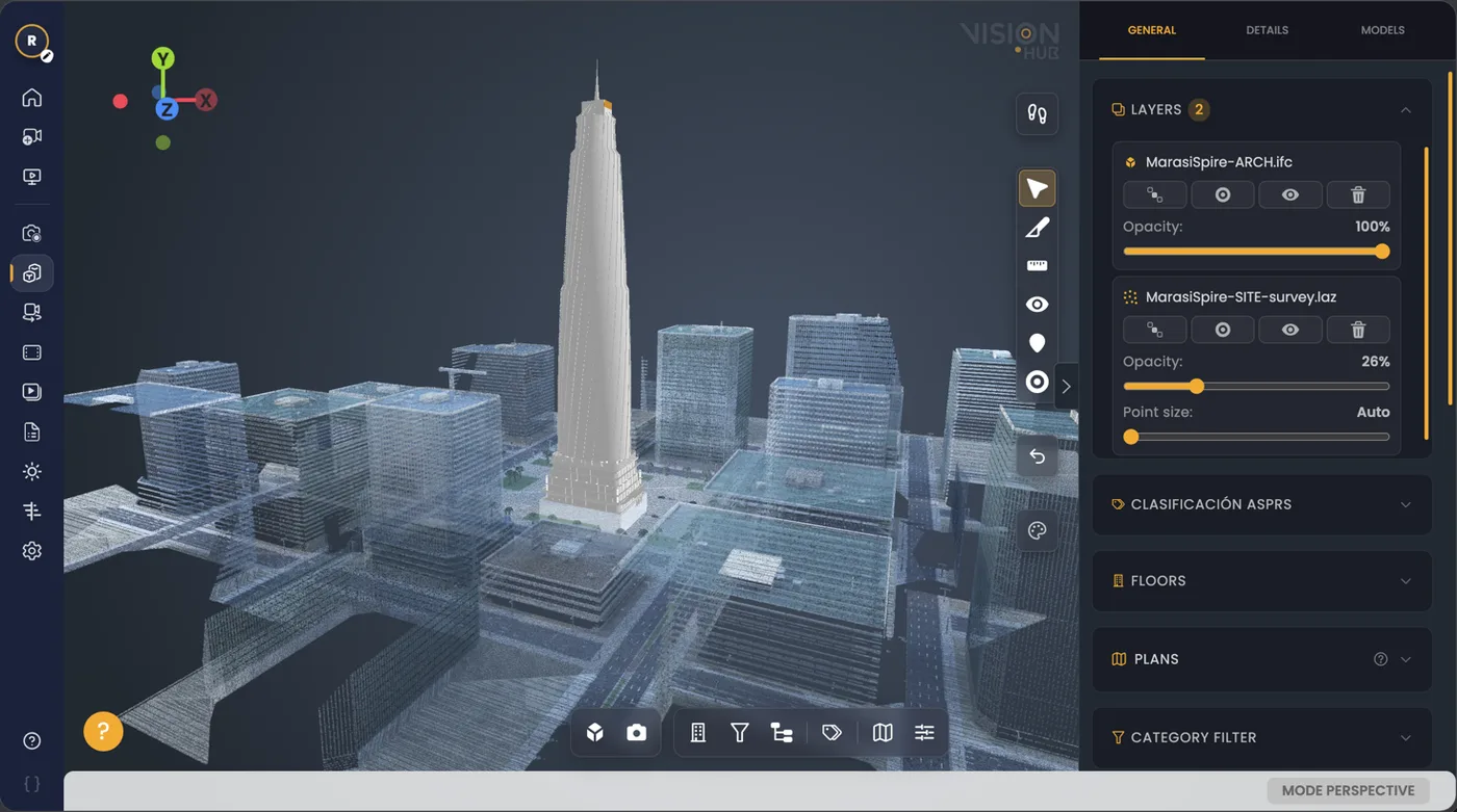
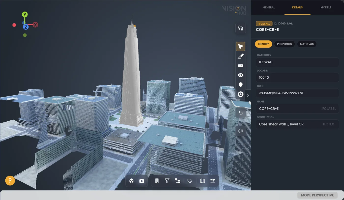
VisionHub adds what a technical project needs on top of that: the point cloud, the IFC model, Gaussian Splatting and the orthophoto in the same scene, compared with the actual state of the site.
The difference: your data, in open formats
When you commission a survey from LAURIA ESCÁNER, we capture with LiDAR laser scanners (terrestrial or SLAM) and drones, and we hand over the files. Not a licence to look at them: the files themselves. The point cloud is always included; everything else depends on what the job needs.
| Deliverable | When | Format | Where it opens, besides VisionHub |
|---|---|---|---|
| Point cloud | Always | E57, LAS, LAZ | CloudCompare, Autodesk ReCap, Leica Cyclone, Revit (via ReCap) and any software that reads these standards; Potree as an open-source web viewer |
| 360 panoramas (virtual tour) | If the job includes a virtual tour | Equirectangular JPG | Any 360 viewer, Pano2VR and most tour platforms |
| Gaussian Splatting | If a photorealistic walkthrough is requested | PLY, SPZ | Splat-compatible viewers and engines |
| Orthophoto | When there is a drone flight | GeoTIFF | QGIS, ArcGIS and any GIS |
| 2D drawings | If the job includes them | As specified | CAD software |
| BIM model | Only if the job includes BIM modelling | IFC | Revit, Archicad, Blender with Bonsai and any IFC viewer |
That has three practical consequences:
- The viewer is not a cage. VisionHub is where we publish the project so the whole team can see it, but if you prefer another platform tomorrow, you upload the same files there.
- You work on the desktop. The cloud opens in the modelling or analysis software you already use; there is no export to buy before you can model on it.
- The data is georeferenced. We work with GNSS RTK or to the project survey network, so the cloud lines up with mapping, the orthophoto and the rest of the documentation.
To see which tools open each format, we go into detail in our guides to BIM viewers and point clouds.
What happens in Matterport when you cancel or export
It pays to be precise here, because this is where things get oversimplified. Everything below comes from Matterport’s official documentation, checked in September 2026.
The data belongs to the customer
The Matterport subscription agreement is clear: the customer retains ownership of its data (section 18). So the issue is not legal ownership but access and format.
When you cancel, spaces are no longer available
According to Matterport’s cancellation FAQ, at the end of the subscription all your spaces are no longer available and active links return an error. Models are not deleted, but you cannot get back into them without buying another plan with the same email address. The agreement says the same: once the service ends, the customer can no longer access the spaces and add-ons hosted on the platform.
The point cloud is bought separately
- The E57 file is an add-on with a one-time purchase per space. According to the E57 FAQ, it requires the Professional plan or higher and the whole space must have been captured with a Matterport Pro camera; it is also not georeferenced.
- The MatterPak bundles a colourised XYZ point cloud, the OBJ mesh and floor and ceiling plan images. It is not available on the Free plan and is paid for per space.
- The official price list puts the E57 at €99 (£89) per file and the MatterPak at €44 to €54 (£39 to £48), depending on the plan.
None of this is hidden or unfair: it is the business model of a tour platform. But it is worth knowing before you choose, especially if the tour has to serve years later for a refurbishment, maintenance work or an expert report.
Accuracy: Matterport vs terrestrial laser scanner (TLS) and SLAM
All three let you measure, but not with the same reliability. Measuring on a tour gives you a rough idea; measuring on the point cloud of a survey lets you design, model or certify. These are the orders of magnitude:
| System | Indicative accuracy | What it is good for |
|---|---|---|
| Matterport with the Pro3 camera | ±20 mm at 10 m, according to the manufacturer itself | Layouts, approximate floor areas, marketing and visual documentation |
| Handheld SLAM scanner | Around 1 to 3 cm, depending on the device, the walk route and the control points | Layout plans, warehouses, tunnels and galleries, retail units and long routes |
| Terrestrial laser scanner (TLS) | ±2 mm nominal under controlled conditions | As-built BIM modelling, MEP, structure, dimensional control and expert reports |
The sensor is only part of the story. Three things weigh in:
- How each point is measured. The Pro3 is built to capture a tour quickly. A terrestrial scanner measures every point with a survey-grade laser from a fixed station, while SLAM measures continuously as the technician walks.
- How the overall error is controlled. In Matterport each scan is aligned to the previous ones automatically, with no external control points, so in a large or multi-storey building nothing bounds the accumulated error. In a survey, terrestrial scanner stations are registered with targets or to the survey network, and SLAM drift is corrected by closing loops and using control points.
- Where the model sits. Matterport’s E57 is not georeferenced; our point clouds are, with GNSS RTK or to the project network.
In practice, ±20 mm is enough to decide where a piece of furniture goes or to show a property. It is not enough to model a pump room, prefabricate a run of pipework or check the flatness of a floor slab. That is why we choose the equipment for the tolerance the project calls for: SLAM when speed matters and centimetre accuracy is enough, a terrestrial scanner when you need the millimetre, and often both on the same job. We go into more detail on our 3D laser scanning and Scan to BIM service pages.
Comparison table
| Matterport | LAURIA ESCÁNER + VisionHub | |
|---|---|---|
| View, walk through and measure in the browser | Yes | Yes |
| Who captures | You or a provider, with a Matterport camera, 360 camera or phone | Us, with LiDAR laser scanners and drones |
| Stated accuracy | ±20 mm at 10 m with the Pro3 camera (Matterport figure) | Terrestrial laser scanner (TLS): ±2 mm nominal under controlled conditions. SLAM: around 1 to 3 cm |
| Point cloud | E57 paid per space; XYZ in the MatterPak | Always included, in E57, LAS or LAZ |
| Georeferencing | The E57 is not georeferenced | GNSS RTK or the project survey network |
| Other deliverables | OBJ mesh, plans, photos and video | As the job requires: 360 JPGs, PLY/SPZ splats, GeoTIFF orthophoto, 2D drawings, IFC |
| If you stop paying for the platform | Links return an error until you subscribe again | The files are still yours, on your own drives |
| Strong point | Speed, dollhouse view and an ecosystem of integrations | Measurable, open and reusable data |
When each one fits
Matterport is a good fit if…
- You need quick real estate or hospitality tours, many spaces a month, captured in-house.
- The dollhouse view, a schematic floor plan and approximate room measurements are enough.
- Your workflow already lives inside its ecosystem of integrations and you will keep the subscription.
What LAURIA ESCÁNER delivers is a better fit if…
- The survey will be used to design, model or measure properly: refurbishments, Scan to BIM, industry, infrastructure or heritage.
- You want to keep the data without depending on a subscription, in formats any program will still open in ten years.
- You need to combine the tour with the cloud, the drone orthophoto, Gaussian Splatting or the BIM model in a digital twin.
Already have tours in Matterport and not sure they will do for a technical project? Tell us what you need to measure and we will tell you whether what you have is enough or whether a laser scan survey is worth it.