Quarries
Stockpile volumes
Volumetric quantification of stockpiles and quarry faces from a dense, repeatable point cloud.
Service · Aerial capture
A laser sensor mounted on a drone: it measures actively, independent of daylight and of ground texture, sees through vegetation and covers large areas at a rate conventional surveying cannot match. We fly anywhere in Spain.
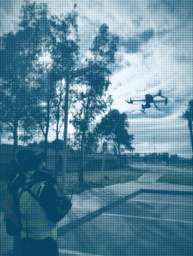
Drone LIDAR measures with an active laser rather than reconstructing from photographs, so it depends neither on daylight nor on the visual texture of the ground. It is the fastest way to cover large areas or see through dense vegetation without losing accuracy.
Quarries
Volumetric quantification of stockpiles and quarry faces from a dense, repeatable point cloud.
Industry
Volume and biomass estimates from the LIDAR cloud, including under tree cover.
Linear works
Earthworks measurement and progress monitoring on rail undergrounding and other linear schemes.
With drone LIDAR we cover up to 600 ha in a single day, at accuracies down to 3 cm.
| Measure | Conventional surveying | Drone LIDAR |
|---|---|---|
| Point density | 20–60 points/ha | More than 1,000,000 points/ha |
| Points captured per day | 800–1,000 | More than 700 million |
| Output (two-person team) | 5–20 ha/day | 600 ha/day |
| Vertical accuracy | 2–3 cm, with RTK | 3 cm RMSE, also with RTK |
| Vegetation penetration | Only where the surveyor walks | Measures the ground under tree cover |
| Final product | Discrete points, annotated by hand in the office | Classifiable cloud, RGB and DTM/DSM ready |
Conventional surveying produces a mesh (TIN) from the minimum number of points the surveyor judged sufficient. An element exists only if somebody decided to measure it, and its meaning — that this is a gully or a kerb — lives in the surveyor's head until it is annotated back in the office.
A LIDAR cloud at this density is a different category of thing: every point carries intensity, return number, RGB colour and a timestamp, and that density lets objects emerge and classify themselves. It is no longer a one-off survey: it is the basis of a genuine digital twin, where any measurement nobody thought of at the time can be taken later, without going back to site.
Neither replaces the other: we choose on what has to be measured and where.
Aerial LIDAR capture completing the roofs and raised areas of an 83,000 m² water tank belonging to Canal de Isabel II, the Madrid regional water utility, combined with terrestrial scanning in the normally accessible areas.
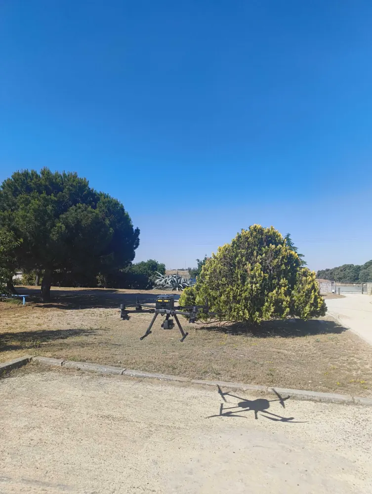
We process the LIDAR flight and hand over the classified cloud and its derivatives, combinable with ground-based capture.
We plan the flight around coverage, vegetation and what the cloud is finally for. You can watch the whole drone survey process, stage by stage.
A drone LIDAR carries a laser sensor that measures distance actively, independent of daylight or the visual texture of the ground. Drone photogrammetry reconstructs 3D from overlapping photographs. LIDAR penetrates vegetation and works on untextured surfaces where photogrammetry fails; photogrammetry is faster and cheaper in urban areas.
When there is dense vegetation to see through (quarries, linear works, biomass calculation), where the ground has little visual texture, or where maximum point density is needed regardless of lighting. In urban areas flight permissions are more restrictive and the operating cost is higher than photogrammetry, so photogrammetry usually fits better there.
Up to 600 hectares in a single day, against 5–20 ha/day for a conventional two-person survey team. Density changes scale as well: roughly 20–60 points/ha with conventional surveying against more than a million points/ha with drone LIDAR, at comparable accuracy (2–3 cm, both with RTK).
Yes. Each laser pulse can generate several returns: part of the signal reflects off the canopy and part reaches the ground, which recovers the real terrain under tree cover — something photography cannot do.
Tell us what you need surveyed. We review your case with no obligation and send back a technical and commercial proposal matched to your requirements — in English, working to your project timetable.