Capture
Measured reality
LIDAR, SLAM, drone and photogrammetry to document geometry, context, services and existing condition.
Service · Digital twin
We turn existing assets into digital environments anyone on the team can consult: point clouds, BIM models, photorealistic walkthroughs and technical documentation, all reachable from a browser — which is exactly what a project team based outside Spain needs. We capture assets across the whole country.
A digital twin is, simply, a faithful digital copy of something that already exists — a building, a plant, an item of infrastructure — that you can consult and measure from your desk instead of travelling to it. The value is not only in capturing the data but in making it usable: measure, review, compare, share and plan interventions without repeating the visit.
Capture
LIDAR, SLAM, drone and photogrammetry to document geometry, context, services and existing condition.
Model
Point cloud, as-built BIM, CAD, GIS, meshes or gaussian splats, according to how the asset will be used.
Viewer
Shared visualisation for clients, design offices, site teams, maintenance, heritage bodies or public authorities.
Digital twins earn their keep when an existing asset has to be maintained, altered, refurbished, extended, conserved or explained.
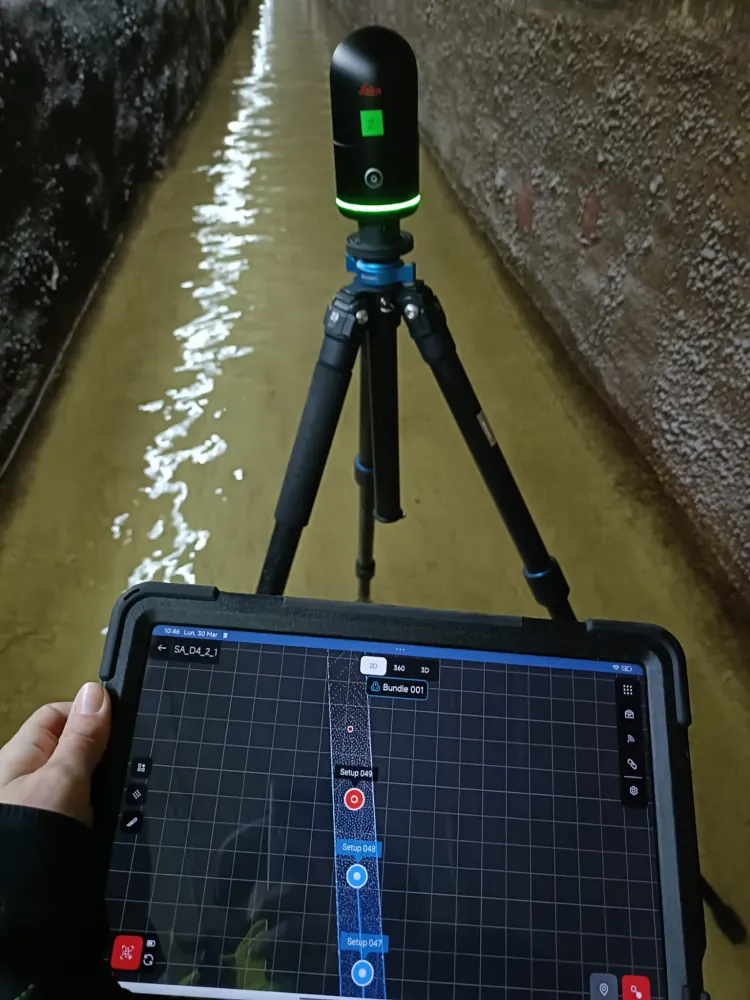
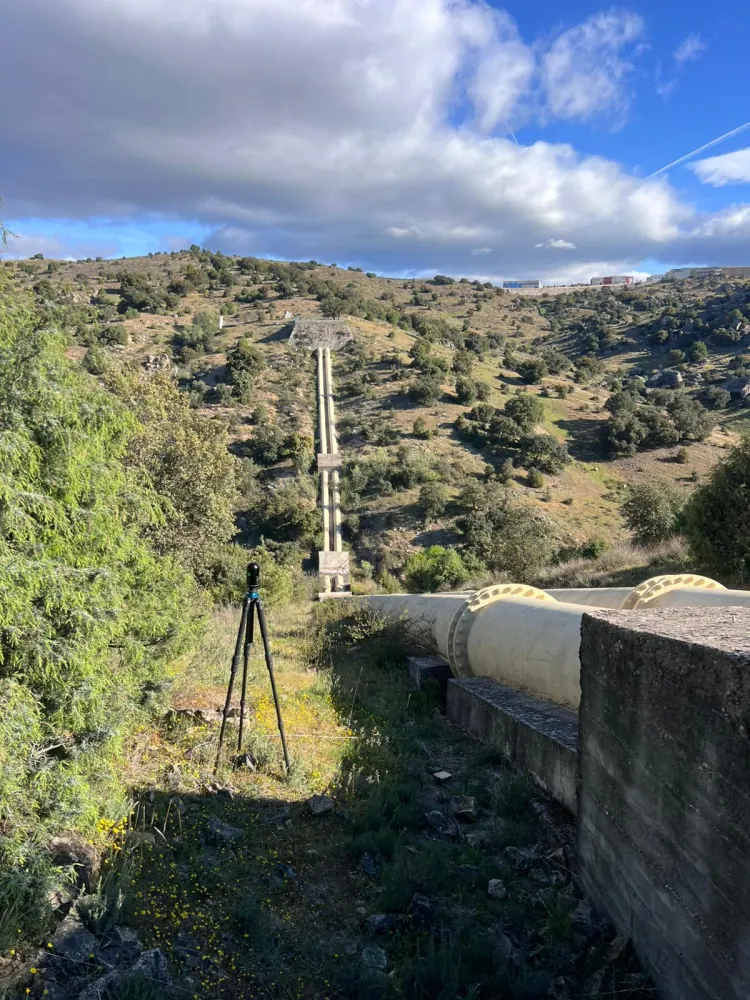
More than 12 km of drinking water conduits on the Santillana Canal, for Canal de Isabel II — the Madrid regional water utility — scanned inside and out and merged into one continuous point cloud as the basis of the digital twin.
The web viewer has to let people navigate, measure, review areas, share views, toggle layers and reach the asset without installing specialist software on every workstation.
Review of captured geometry, basic measurements, sections and visual support for technical review.
Exported IFC/RVT models brought in to coordinate the modelled asset against the captured reality.
Photorealistic representation when the space has to be explained through a natural visual experience.
A proven sequence that turns any existing asset into a digital environment the whole team can consult.
The difference between a one-off scan and a useful digital twin is what happens after the first delivery: who can open it, under what permissions, and how often reality is recaptured so the data does not drift out of date.
A digital twin is an accurate digital replica of a physical asset — a building, a process plant or an item of infrastructure — that reflects its real condition and can be consulted and updated over time. It is built from the point cloud and BIM models.
In five stages: define the scope (which asset, which uses, who will consult it), capture the data with terrestrial LIDAR, SLAM or drone as the asset demands, process and register the georeferenced point cloud, integrate cloud, BIM models and documentation into one coherent digital environment, and publish it in a web viewer that needs no specialist software.
No. The digital twin is viewed in a web browser, with no specialist software to install, shared per project and with permission control. That matters when the reviewing team sits in a different country from the asset.
It lets you measure, review, compare and plan interventions against real data, cutting down site visits and coordination errors in maintenance, refurbishment, extensions and asset management.
Tell us what you need surveyed. We review your case with no obligation and send back a technical and commercial proposal matched to your requirements — in English, working to your project timetable.