Existing installations
Pipework, equipment, supports, plant rooms, tanks, walkways, structures and anything awkward to measure by hand.
Sector · Industry
We digitise industrial environments with LIDAR, SLAM, drone, point clouds and as-built models, supporting maintenance, extensions, inventory, technical coordination and digital twins — including for owners and engineering firms running Spanish plants from abroad.
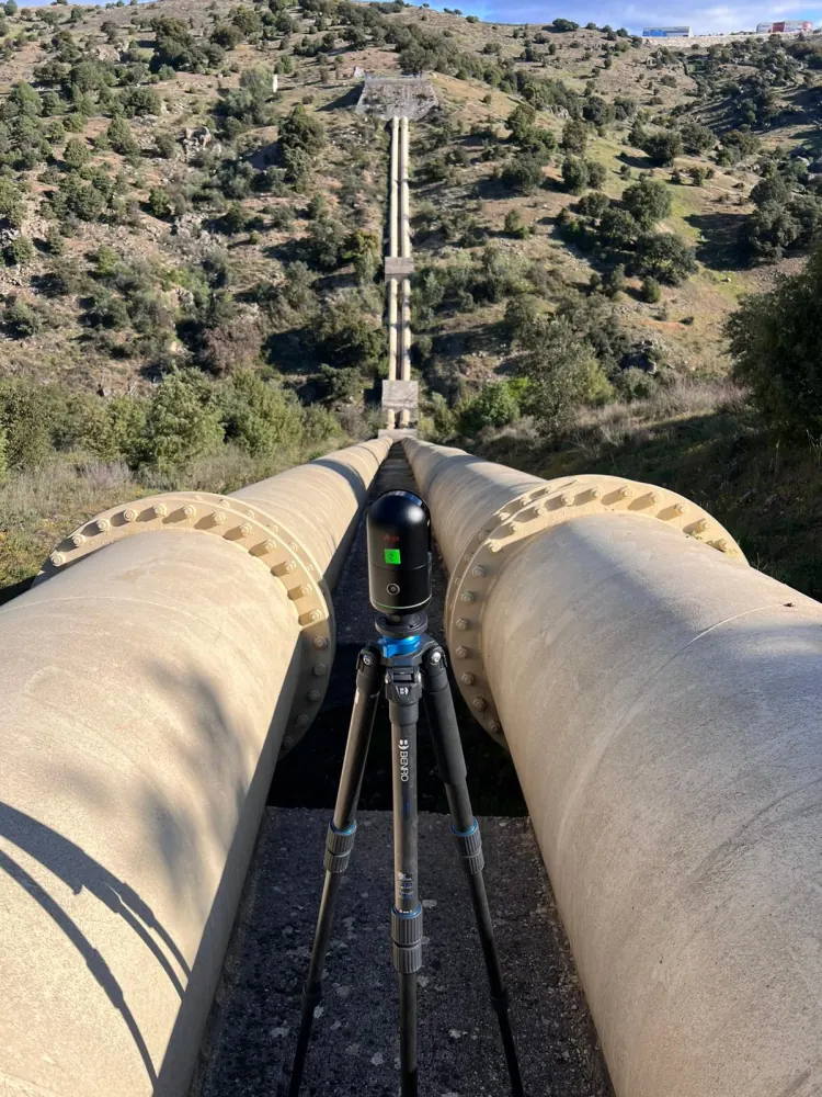
In industrial settings the built reality drifts over time. A point cloud lets you work from up-to-date information before dismantling, extending, altering or ordering fabrication.
Pipework, equipment, supports, plant rooms, tanks, walkways, structures and anything awkward to measure by hand.
Reliable data to find clashes, plan routes, validate available space and coordinate engineering disciplines.
Digital twins and web viewers to consult the asset without always depending on a site visit.
Delivery can be aimed at the design office, maintenance, site, subcontractors or management, depending on who will use the data.
One capture can feed maintenance, engineering and operations, provided the deliverables are planned properly.
No. Scanning is a non-contact capture and does not require equipment to be stopped, but where the process does not allow personnel in the area we plan the capture at night, at the weekend or inside an already scheduled shutdown. The aim is to fit the work around the plant's operation, not to cause a shutdown for the sake of a survey.
Prefabrication work is done with a terrestrial laser scanner, which reaches a nominal accuracy of ±0.02 cm under controlled conditions. That is the basis that lets pieces be fabricated in the workshop and installed on site without field adjustment, provided the cloud is correctly registered and georeferenced.
The point cloud is the raw measurement: millions of points reproducing the real geometry, measurable but with no object intelligence. The as-built BIM model is derived from it, where each pipe, item of equipment or support is an identified element with its properties. The cloud documents; the model lets you work on the asset in engineering software.
Through a web viewer with nothing to install: it lets you walk the installation, take measurements and check the condition of the asset from a browser. It is built for maintenance, operations or management, who need the data without handling technical tools — and it works just as well from another country.
Tell us what you need surveyed. We review your case with no obligation and send back a technical and commercial proposal matched to your requirements — in English, working to your project timetable.