Canals and water networks
Survey of alignments, sections, ancillary elements, tanks, chambers and associated plant.
Sector · Infrastructure
We capture canals, tanks, networks, civil works and technical environments with LIDAR, drone and point clouds, producing reliable documentation, measurements, models and the basis of a digital twin. This is the niche most of our reference work sits in — water infrastructure for Spanish utilities.
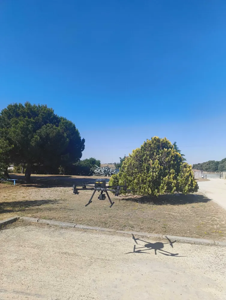
Infrastructure combines scale, awkward access and a genuine need for accuracy. The approach usually mixes aerial capture, terrestrial scanning, SLAM and survey control.
Survey of alignments, sections, ancillary elements, tanks, chambers and associated plant.
Geometry control, record of current condition, measurement and support for alteration, maintenance or extension.
Georeferenced data for inventory, mapping, planning and the technical management of infrastructure.
Three recent water infrastructure projects, with terrestrial laser scanning, confined space work and drone LIDAR capture.
We do not impose a single tool. We decide whether terrestrial LIDAR, SLAM, drone, photogrammetry, survey control or a combination is the right answer.
In consecutive sections, tied to each other with survey control so the point cloud runs continuously from end to end rather than being a sum of independent captures. That is how we scanned more than 12 km of conduits on the Santillana Canal for Canal de Isabel II, combining confined interior stretches with open-air pipe runs.
Not necessarily: many assets can be scanned in service, because scanning is a non-contact capture and nothing has to be handled. The real limit is water: we cannot work in a space full of water, though we do work with waste water present. In practice the capture is normally planned inside a scheduled shutdown, so normal operation is not interrupted for the survey.
Georeferenced data in ArcGIS- and QGIS-compatible formats (SHP, GeoJSON, GeoTIFF), plus the point cloud in LAS, LAZ or E57. It serves asset inventory, mapping and technical planning against the real state of the infrastructure.
Yes, with a team qualified for confined spaces, running a lifeline, rescue cover and continuous oxygen monitoring while the capture is made. We did exactly that on a sewer collector in Sant Feliu de Llobregat for the Catalan Water Agency, measuring sediment levels and the condition of the safety gates.
Tell us what you need surveyed. We review your case with no obligation and send back a technical and commercial proposal matched to your requirements — in English, working to your project timetable.