Infrastructure
Linear assets and civil works
Canals, galleries, tunnels, bridges, roads, stations and any environment where real geometry drives maintenance, refurbishment or extension.
Service · Metric capture
We capture buildings, plants, infrastructure and heritage sites with 3D laser scanning, SLAM and survey control, producing point clouds that are reliable, measurable and ready for technical production. We work across the whole of Spain, from Madrid to the Canary Islands, on a fixed quote that includes travel.
Laser scanning records the asset as it stands, not as a drawing says it should. The scanner captures the geometry with every irregularity, clash, deformation, fall and service run — precisely the things that are rarely documented properly — and hands it over as a point cloud: millions of coordinates your team can measure against with confidence, without flying anyone back out to site.
Infrastructure
Canals, galleries, tunnels, bridges, roads, stations and any environment where real geometry drives maintenance, refurbishment or extension.
Industry
Surveys of pipework, equipment, plant rooms, structures and service routes, cutting down site visits, setting-out errors and coordination clashes.
Heritage
Metric records of historic buildings, singular elements and complex spaces for conservation, restoration, research and public interpretation.
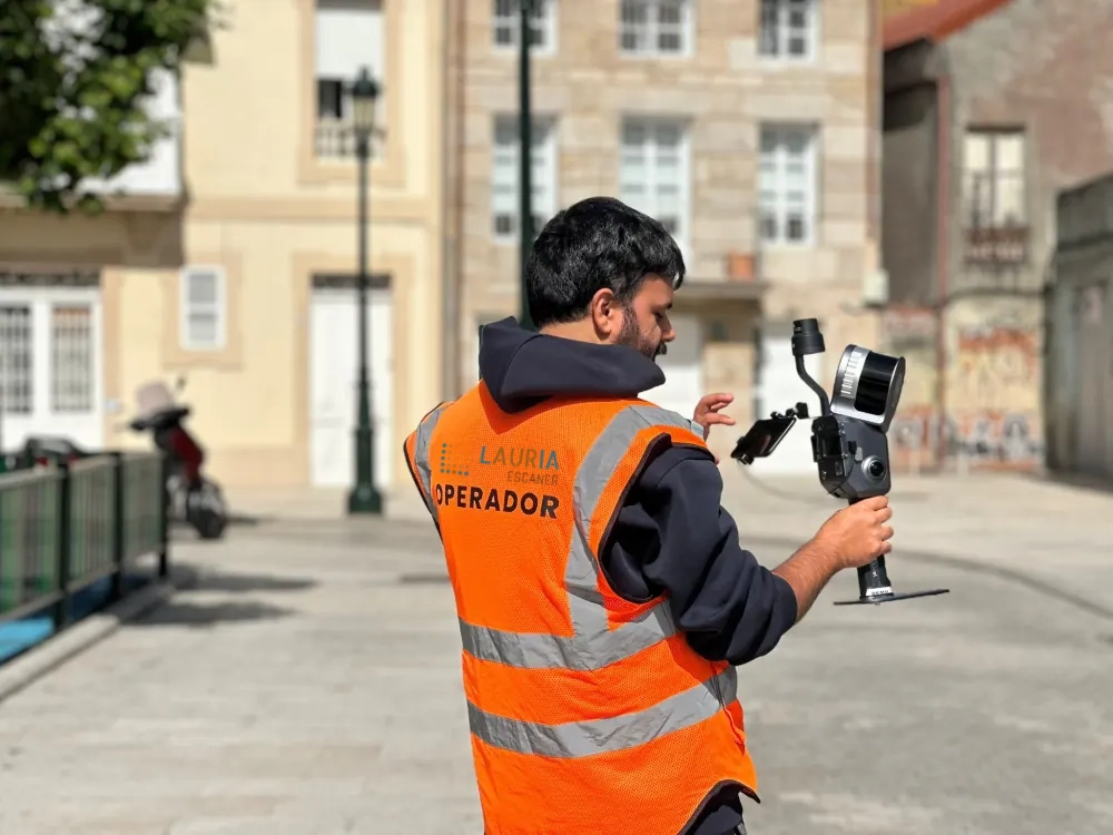
Urban heritage survey in Vigo for the Concello de Vigo (Vigo City Council), combining an RTK SLAM scanner (Xgrids Lixel L2 Pro) with a drone flight positioned on ground control points, to produce a single high-resolution combined point cloud.
Capture does not end at the scanner. We process, register, clean and hand over the information in formats each discipline can actually use.
We choose the capture system on accuracy, range, access, deliverables and what the point cloud will be used for afterwards. If you want to see it from the inside, we have explained how a laser pulse becomes a 3D model stage by stage.
We do not use one scanner for everything: cloud density, capture speed and physical access decide which system makes sense, and we frequently combine several on the same survey.
Our terrestrial LIDAR scanners reach a nominal accuracy of ±0.02 cm under controlled conditions, with GNSS RTK georeferencing or a tie-in to the project survey network where the works require it.
Yes. Spanish projects normally work in ETRS89 with UTM zones 29N to 31N, and we georeference to that by default. If your team works in a different system, or needs a local project grid, we agree the transformation up front so deliverables land in the reference frame your own models already use.
We deliver the point cloud in E57, LAS, LAZ, RCP and PTS, organised by area, station or level, and compatible with Revit, AutoCAD, ReCap, Cyclone and GIS software.
A tripod-mounted terrestrial scanner gives maximum density and accuracy; a SLAM system captures continuously while walking, with no set-up between stations. We pick one, the other, or both, according to the asset and the environment.
Tell us what you need surveyed. We review your case with no obligation and send back a technical and commercial proposal matched to your requirements — in English, working to your project timetable.