Heritage
Immersive walkthroughs
Visual documentation of buildings, interiors, remains, excavation sites and singular spaces, for public interpretation or remote review.
Service · Advanced visualisation
We build 3DGS models from planned visual capture, so heritage bodies, architects, industry and construction can show real spaces in a smooth web viewer that comes close to standing there. Almost nobody in Spain offers this commercially yet — and for a client reviewing an asset from abroad, it is the difference between reading a report and seeing the place. We capture anywhere in Spain.
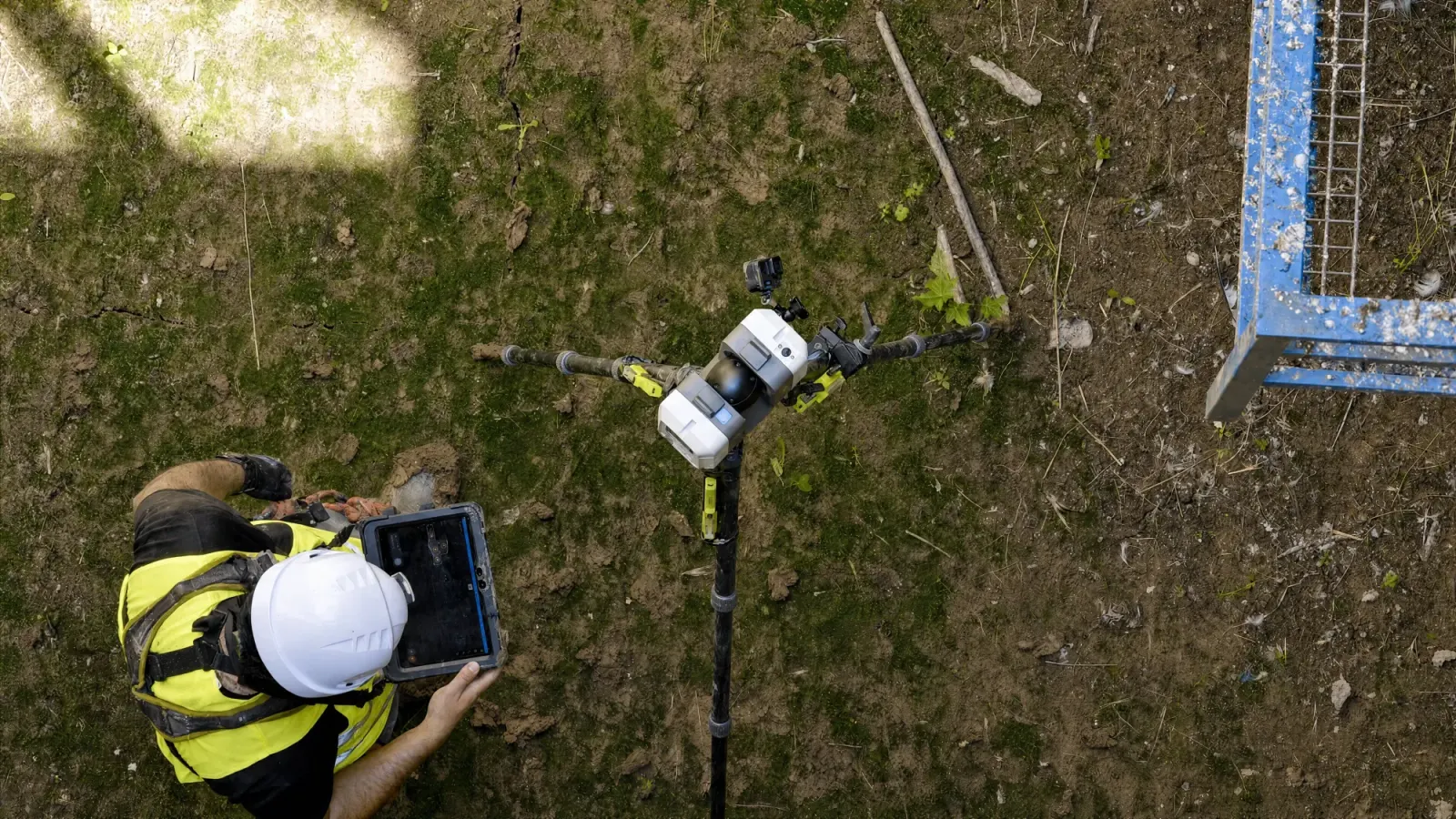
Gaussian Splatting (3DGS) is a recent technique that reconstructs a space from photographs or video and displays it photorealistically and navigably in the browser, close to being there. A point cloud is unbeatable for measuring; Gaussian Splatting is unbeatable for seeing and explaining. Together they give you a digital twin that is both accurate and easy to show to somebody who is not an engineer.
Heritage
Visual documentation of buildings, interiors, remains, excavation sites and singular spaces, for public interpretation or remote review.
Industry
Natural visualisation of plants, plant rooms, tanks and service routes, where a navigable photograph removes ambiguity.
Construction
Monitoring, presentation and visual sign-off of spaces before, during or after an intervention.
The right approach is to choose the data by the decision: LIDAR and BIM for metric accuracy, Gaussian Splatting for visual experience and spatial understanding.
Traditional photogrammetry produces point clouds from imagery, from which digital terrain models (DTM), digital surface models (DSM), orthophotos, meshes and metric point clouds are derived — accurate, but without the hyper-realistic quality good visualisation needs. That is where Gaussian Splatting wins: you can move through the scene in high definition with realistic lighting, though you cannot take measurements from it. The two are combined to hold metric data and visual experience at the same time.
They are not substitutes: photogrammetry or LIDAR supply the metric data, Gaussian Splatting the hyper-realistic visual experience. Together they cover measurement and communication at once.
A good 3DGS result depends on planning: route, lighting, coverage, overlap, critical areas and the final visualisation objective.
A point cloud stores millions of points with their exact position in space: every point holds real coordinates, so distances, heights and areas can be measured — but up close you see gaps, with no texture and no highlights. Gaussian Splatting turns each point into a soft blob of colour with shape and transparency: volume, reflections and materials appear, and the scene looks almost like a photo, though you can no longer measure on it. In one project both are used: the point cloud to work with, the Gaussian splat to show.
Gaussian Splatting (3DGS) is a 3D reconstruction technique that represents a scene as millions of volumetric gaussians, producing photorealistic results rendered in real time in a web viewer or in virtual reality.
In five stages: define the visual objective and the key areas, plan the capture route (light, access, overlap), capture photography and video on site with point cloud support where the scene needs it, process the 3DGS model checking continuity and navigation, and deliver it embedded in a navigable web viewer.
LIDAR point clouds and photogrammetry exist to measure accurately; Gaussian Splatting exists to show and explain a space at photorealistic quality. They combine well: LIDAR to measure, 3DGS to explain.
The model is explored directly in a browser, with no software to install and free movement through the scene, and can be shared by link with clients, public authorities or non-technical stakeholders anywhere in the world.
No. Traditional photogrammetry produces point clouds from imagery, from which DTMs, DSMs, orthophotos, meshes and metric point clouds are derived — accurate, but without hyper-realistic visual quality. Gaussian Splatting does not measure: it renders the scene in high definition with realistic lighting, for navigation and presentation. The two are combined to get the best of both.
Tell us what you need surveyed. We review your case with no obligation and send back a technical and commercial proposal matched to your requirements — in English, working to your project timetable.