Blog · Technical guides
3D scanning and BIM, explained from the site.
What we are asked before every project, answered calmly: what is captured, what is delivered, what level of detail to ask for and what to open it with. No brochure: standards, figures and the mistakes we see repeated.
Fundamentals ·
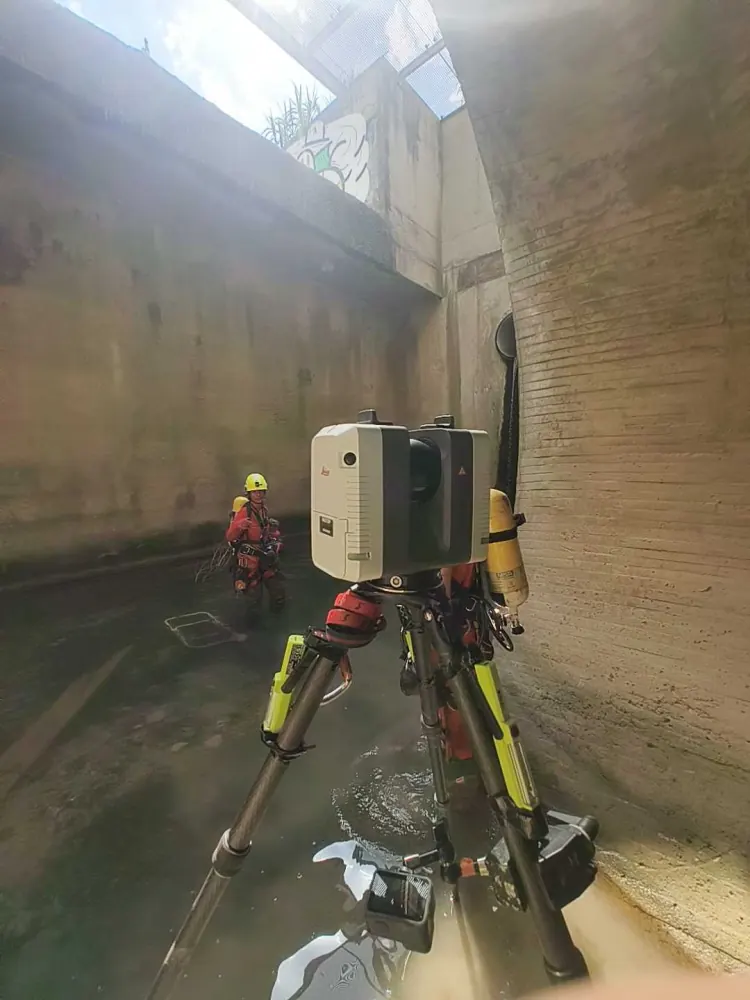
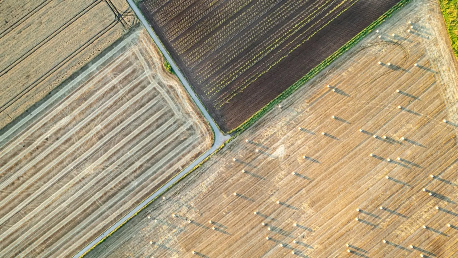
What is photogrammetry? How it works, types and uses
Triangulation, overlap and Structure from Motion; how a drone photogrammetry flight is planned, what it delivers (orthophoto, DTM, 3D model), how accurate it is and when it beats LiDAR.
Fundamentals ·
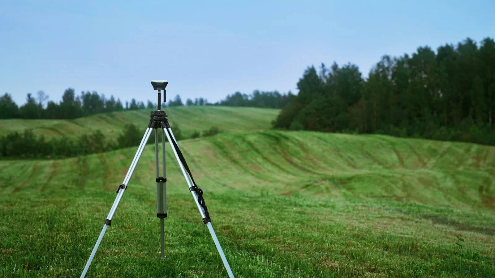
Topographic survey: what it is, methods, time and cost
Total station, GNSS, drone photogrammetry, drone LiDAR or laser scanner: when each one fits, what you receive and what drives time and cost.

Tools ·
CloudCompare: what it is, how to download it and what it does
The first program to open a survey point cloud with: which formats it reads, how to measure, compare cloud and model or calculate volumes, and when ReCap is the better fit.
Fundamentals ·
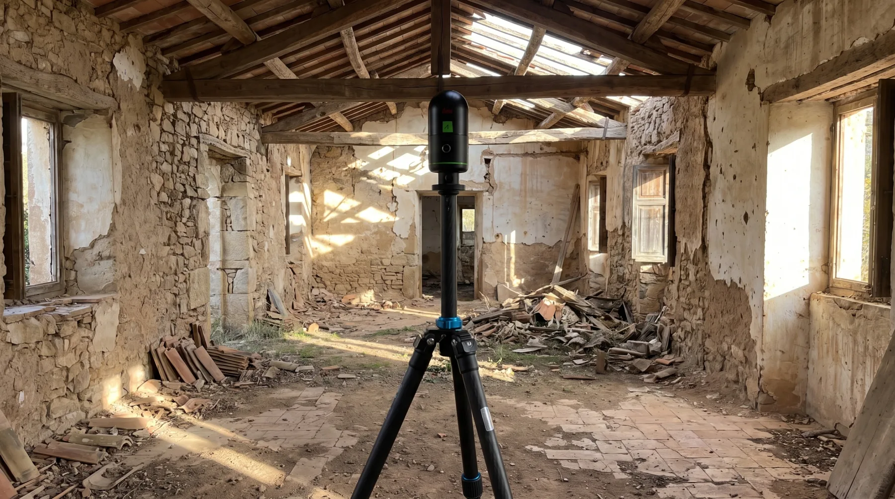
What is LiDAR? How it works, types, accuracy and uses
Time of flight, multiple returns, airborne, drone, terrestrial, SLAM and iPhone LiDAR: what each one measures, how accurately, and when it beats photogrammetry.

Open data ·
PNOA-LiDAR: what it is, the third coverage and how to use it
What the IGN’s third coverage gives you, how to download and open it, what it is useful for as reference and where it falls short of a high-density point cloud.
Tools ·
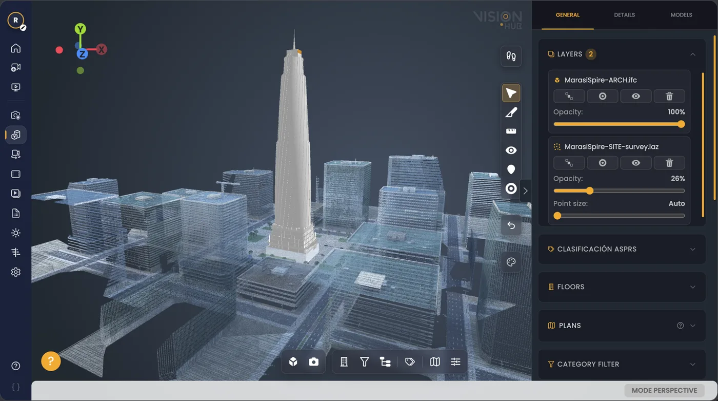
VisionHub vs Matterport: view, walk through and measure, and keep the data
Both give you a virtual tour you can measure in. The difference is what you are left with: the point cloud and other deliverables in open formats, or a tour tied to a subscription.
Fundamentals ·
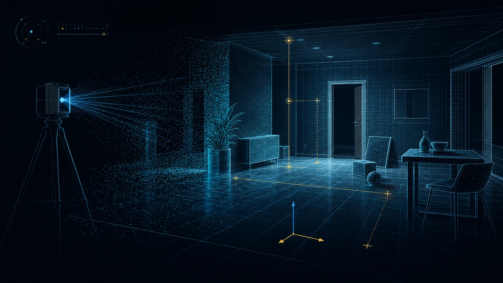
Point cloud: what it is, how it is captured and what it is for
What each point stores, how it is captured with laser, LiDAR or photogrammetry, what accuracy to expect and which format to ask for.
Digital twins ·
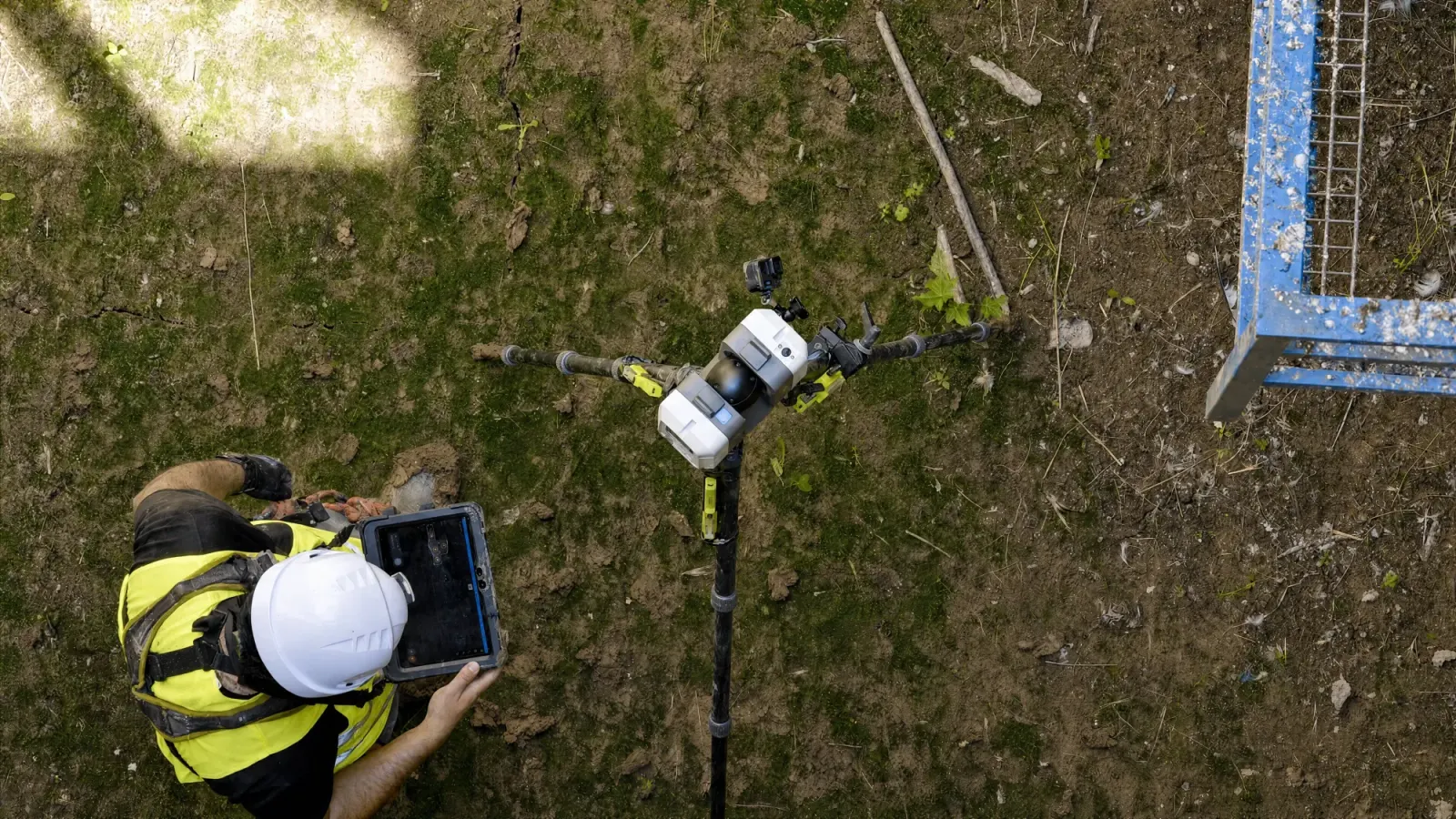
What is a digital twin: definition, layers and examples
How it differs from a BIM model or a point cloud, what layers it has and how one is built for an existing asset.
Regulation ·
Spain’s BIM Plan for public procurement: who must comply and what it requires
Who the Spanish State BIM Plan binds, thresholds and the 2024-2030 timeline, what each level asks for and where scanning existing assets comes in.

Tools ·
BIM viewers: 12 tools to open IFC models and point clouds
Which viewer to use depending on what you need: review an IFC, coordinate on site, compare the model with the actual state or open a point cloud without a licence.
Standards ·
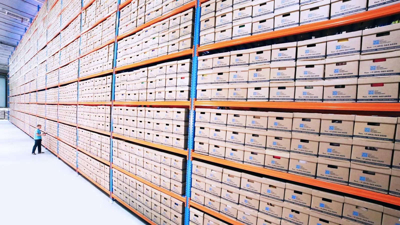
BIM classification systems: GuBIMClass, AeasBIMClass, Uniclass and OmniClass
What classifying a model is for, which system each client asks for in Spain and abroad, and how the code is stored inside an IFC.
Standards ·
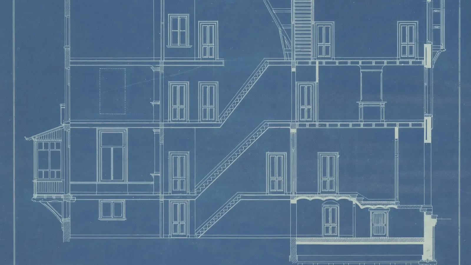
BIM LOD levels: from LOD 100 to 500 and the level of information need
What each LOD means, why LOD 500 is not “more detail” than 400 and how to specify an as-built from a point cloud.
Scan to BIM ·
What is Scan to BIM: scanning, point cloud and modelling
The three phases of a Scan to BIM taken separately: what is captured, what you get before modelling anything and what the BIM model adds.
Have a site
that needs capturing?
Tell us what you need surveyed. We review your case with no obligation and send back a technical and commercial proposal matched to your requirements — in English, working to your project timetable.