Planning
Urban planning documents
Up-to-date base mapping and DTM for drafting or reviewing planning documents and calculating gradients and levels.
Sector · Urban planning and land
Photogrammetric and LIDAR drone flights covering up to 600 ha a day, producing DTM, DSM and orthophotos ready for planning documents, flood studies and territorial analysis in GIS software.
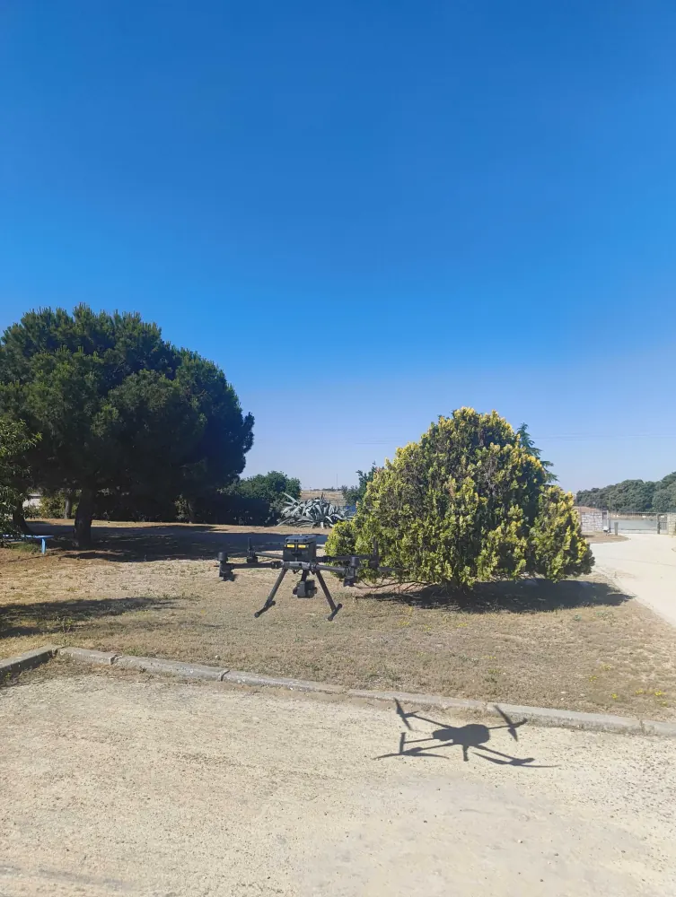
One photogrammetric or LIDAR flight feeds several uses: drafting planning documents, modelling floods, or keeping the mapping of an area up to date.
Planning
Up-to-date base mapping and DTM for drafting or reviewing planning documents and calculating gradients and levels.
Hydrology
Centimetre-accurate DTM as the basis of hydraulic and hydrological models delimiting flood zones.
GIS analysis
Orthophoto and models integrated into GIS software for inventory, analysis and territorial decision-making.
All three come from the same flight, by classifying the captured point cloud to separate ground, vegetation and buildings.
Digital Terrain Model: the bare ground surface, without vegetation or buildings. The base for gradients, levels and hydraulic models.
Digital Surface Model: includes vegetation, buildings and everything standing on the ground. Useful for visibility, shading and volumetric analysis.
Geometrically corrected aerial image, with metric accuracy so distances and areas can be measured directly on it in GIS.
Drone photogrammetry covers large areas with maximum visual detail; drone LIDAR measures with an active laser and penetrates dense vegetation, where photogrammetry loses accuracy.
A DTM (Digital Terrain Model) represents the bare ground surface, without vegetation or buildings. It is the usual base for drafting or reviewing planning documents, calculating gradients, setting levels and feeding hydraulic and hydrological models.
A DTM models bare ground only; a DSM (Digital Surface Model) also includes vegetation, buildings and everything standing on the ground. Both are derived from the same drone-captured point cloud, by classifying which points belong to the ground and which do not.
Up to 600 ha a day with a photogrammetric or LIDAR drone flight, depending on terrain, vegetation cover and the resolution required. It is the fastest way to cover a whole municipality or a large planning area.
We deliver in ArcGIS- and QGIS-compatible formats (SHP, GeoTIFF, GeoJSON), plus access to the project web viewer for consulting the orthophoto and the models without installing anything.
Tell us what you need surveyed. We review your case with no obligation and send back a technical and commercial proposal matched to your requirements — in English, working to your project timetable.