Insurance
Loss adjusting
Objective documentation of fire, flood or structural damage before repair or demolition.
Service · Expert documentation
We document a scene with 3D laser scanning before it is lost, repaired or altered: a time-stamped point cloud with verifiable measurements, ready for an expert report. Useful for insurers and legal teams handling a Spanish loss from another country. We work across the whole of Spain.
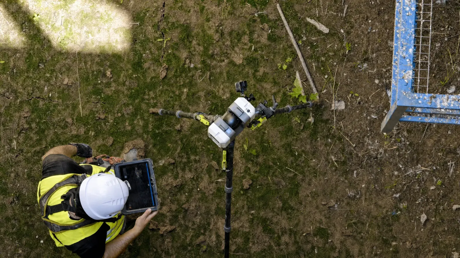
A loss or accident scene changes fast: it gets repaired, cleared, demolished. Laser scanning captures its exact state at that moment, with measurements that can be consulted afterwards without returning to the site — or travelling to the country.
Insurance
Objective documentation of fire, flood or structural damage before repair or demolition.
Legal
Capture of road or workplace accident scenes with verifiable measurements for the expert report.
Heritage at risk
3D record of damaged structures or those at risk of collapse, before any intervention or propping.
A photograph or a written report describes the scene from the point of view of whoever produced it. A point cloud is geometric data: any measurement needed later — a distance, an angle, a volume — can be extracted directly, without depending on somebody having noted it at the time.
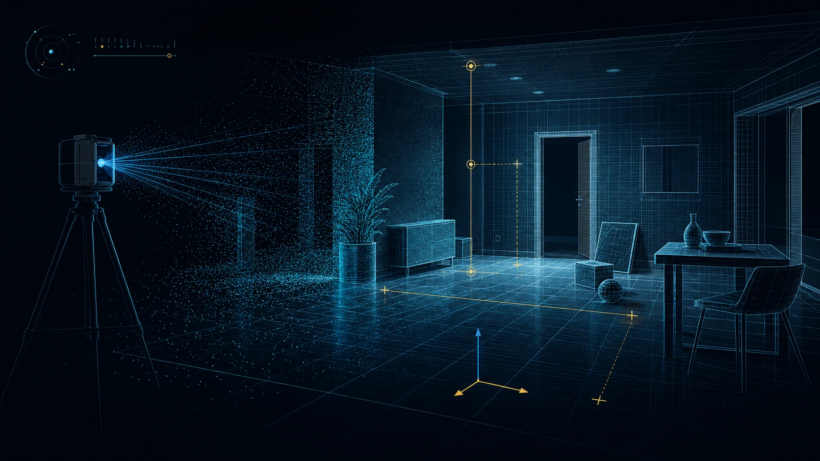
We prioritise keeping intervention on the scene short and leaving the point cloud ready for the expert.
It is the capture of a scene — a loss, an accident, structural damage — with a 3D laser scanner before it is lost, repaired or altered. The result is a time-stamped point cloud with verifiable measurements, useful as objective technical documentation for insurance loss adjusting or legal proceedings.
A point cloud supplies objective technical documentation with verifiable measurements and time traceability, which the expert or lawyer incorporates into their report. Whether a given item is admissible in a particular case is determined by the proceedings themselves, not by the scan. Spanish procedure applies where the scene is in Spain.
It depends on the size and complexity of the scene. With a terrestrial laser scanner or handheld SLAM, site capture is normally resolved within hours, keeping intervention on the scene to a minimum.
Yes. Laser scanning is a non-contact capture: nothing on the scene has to be touched or moved, which helps preserve the chain of custody while the scene is documented to millimetre accuracy.
Tell us what you need surveyed. We review your case with no obligation and send back a technical and commercial proposal matched to your requirements — in English, working to your project timetable.