Challenge
More than 12 km of canal and pipework, with confined interior stretches and exposed exterior stretches, without losing geometric continuity between the two.
Case study · Canal de Isabel II
More than 12 km of drinking water conduits on the Santillana Canal, in Colmenar Viejo (Madrid), scanned with a Leica BLK360 for Canal de Isabel II, the regional water utility of Madrid: the interior canal stretch and the exterior pipe run, in a single continuous 3D base.
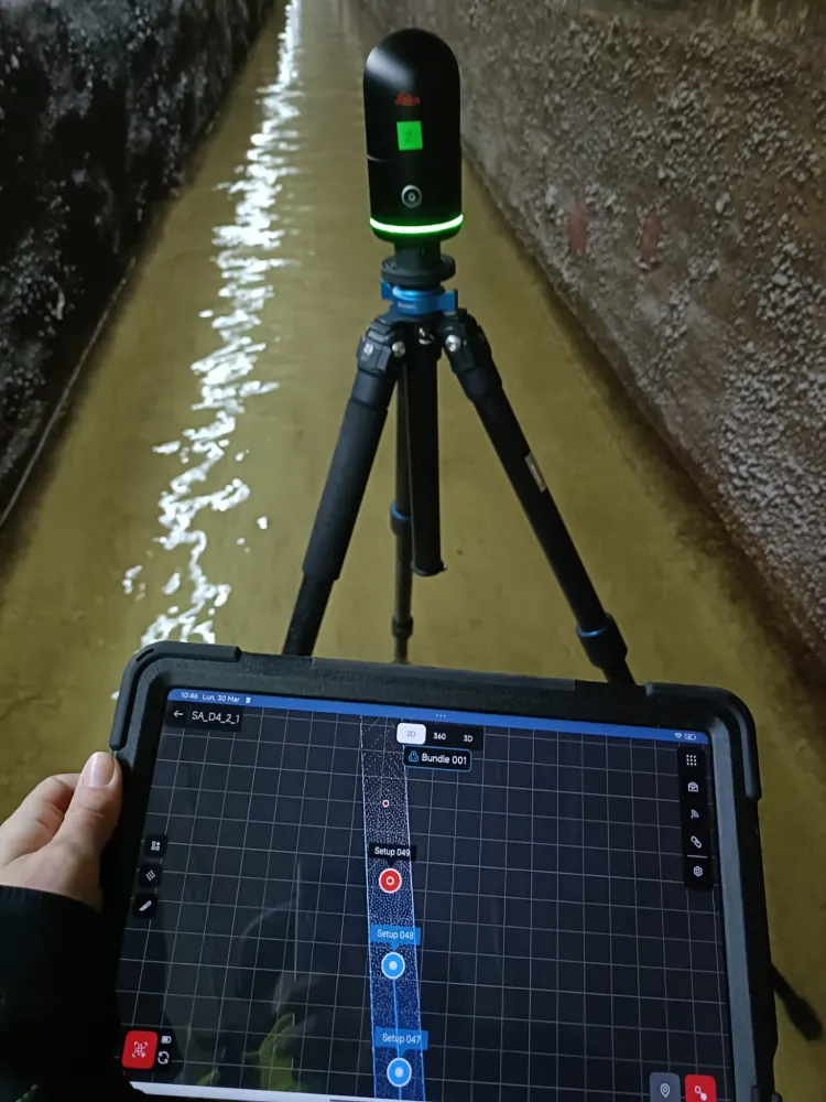
The Santillana Canal supplies drinking water to part of the Madrid region. It is a long, narrow asset where everything depends on continuity: alignment, sections, gradients and ancillary elements have to fit together from end to end. Measuring it by hand, point by point, leaves gaps; scanning it in 3D captures the whole thing continuously, across stretches that run enclosed (with water flowing) and stretches of pipe in the open.
More than 12 km of canal and pipework, with confined interior stretches and exposed exterior stretches, without losing geometric continuity between the two.
3D laser scanning with a Leica BLK360 inside the canal and along the exterior pipe route, with survey control to georeference the whole.
A continuous point cloud of the entire alignment, ready for inspection, maintenance and technical documentation at Canal de Isabel II.
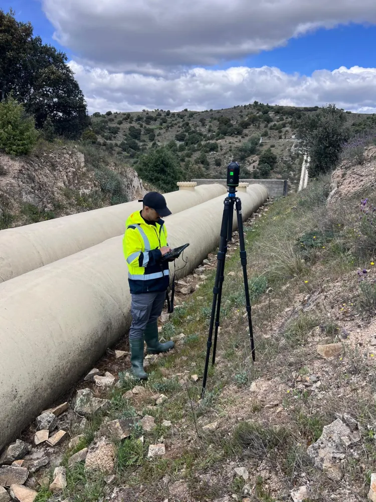
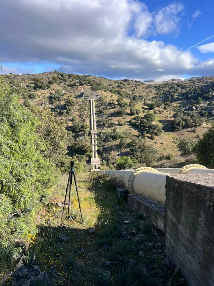
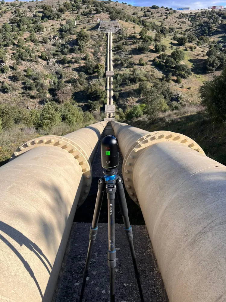
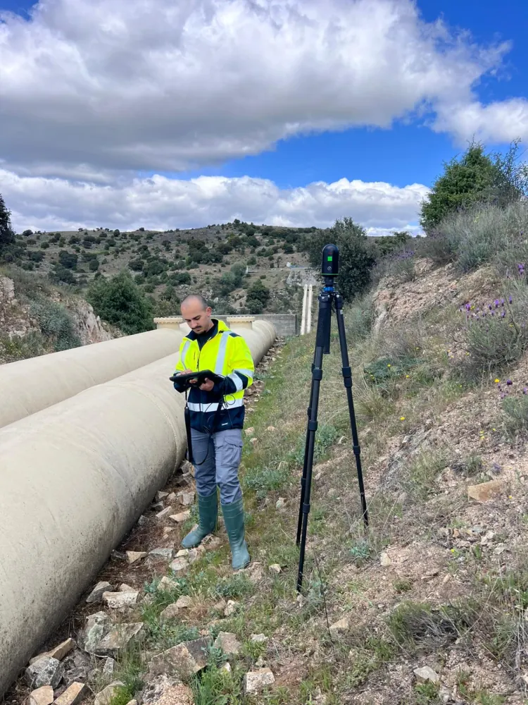
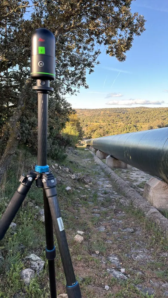
From the capture we produced the deliverables the utility's technical team needs to work against the real state of the canal.
Depending on scope, this kind of project combines terrestrial capture, drone, survey control, point cloud, GIS and web visualisation.
Tell us what you need surveyed. We review your case with no obligation and send back a technical and commercial proposal matched to your requirements — in English, working to your project timetable.