Challenge
83,000 m² with restricted-access areas at height, requiring harness work and a safety protocol.
Case study · Canal de Isabel II
Laser scanning at height, with a harnessed operator, plus complementary drone LIDAR capture of an 83,000 m² water tank for Canal de Isabel II, the Madrid regional water utility. A week and a half on site to document an asset that combines large-scale geometry with restricted-access areas.
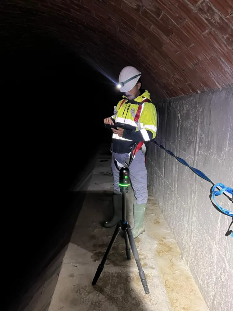
A tank this size is not just a volume of water: around it sit accesses, roofs, high-level walkways, valves and plant that have to be understood as a whole. Part of the site is only reachable with fall-arrest equipment, so the job combined terrestrial laser scanning in the normally accessible areas with aerial drone LIDAR capture for roofs and high-level zones, without putting the operator at unnecessary risk.
83,000 m² with restricted-access areas at height, requiring harness work and a safety protocol.
Terrestrial laser scanning at height with a harnessed operator, complemented by aerial drone LIDAR capture. A week and a half on site.
Complete 3D documentation of the tank for Canal de Isabel II, usable for review, measurement and technical coordination.
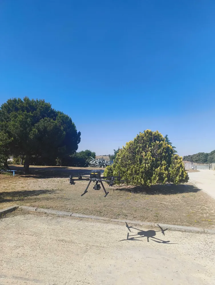
From the terrestrial and aerial survey we produced the complete documentation of the tank, including the high-level areas.
This case combines what LAURIA does differently: terrestrial capture at height, aerial coverage by drone, and technical modelling of the asset.
Tell us what you need surveyed. We review your case with no obligation and send back a technical and commercial proposal matched to your requirements — in English, working to your project timetable.